Hüttchopf
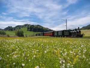
The Hüttchopf offers the best views of the Töss region and the Alpine world of the Zurich Oberland.

As you approach the Tannen saddle, you can see the rocky Hüttenchopf protruding above the forest and meadows.
From the Hüttchopf, as well as on the way to the Alp Scheidegg, where a picturesque mountain restaurant is awaiting, you are treated to a spectacular panorama of the thickly wooded headwaters of the lower and upper Töss, towards the Säntis and, to the north, Lake Constance.
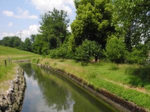
The descent takes you over the Josenberg ridge, and then across the slope down to the Sagenraintobel ravine. Finally, the path follows a varied route along the Schmittenbach stream.
Details
- Total length: 12 km (7.5 miles)
- Level of difficulty: easy
- Physical fitness: easy
© SchweizMobil
Opening Hours
Open on These Days
- Mo
- Tu
- We
- Th
- Fr
- Sa
- Su
Address
| Distance | |
|---|---|
| Zürich Main Station | 29.7 km |
| Zürich Airport | 29.7 km |


