High Mountain Trail Zürich-Oberland (Chrüzegg–Rapperswil Section)
Route Description
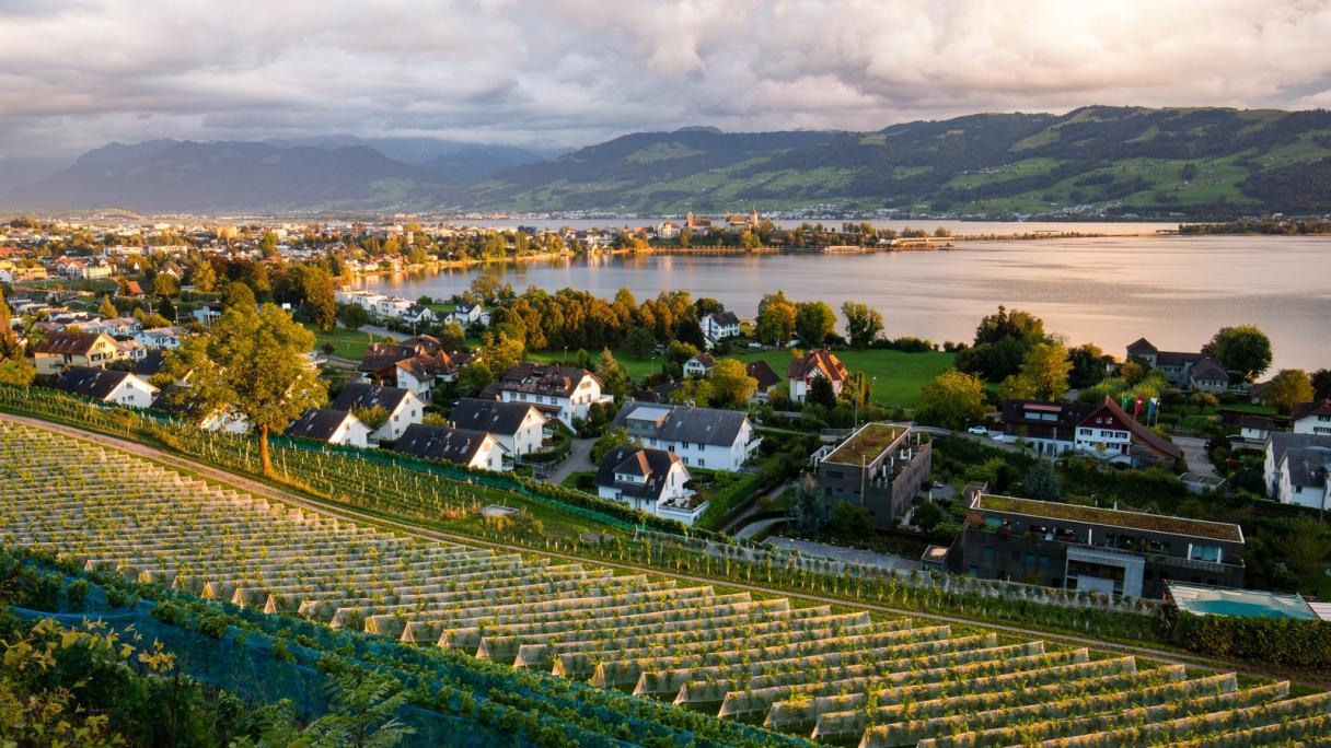
This section of the trail begins at the Berggasthaus Chrüzegg mountain restaurant, which can be reached from the Atzmännig bus stop in around one hour. Alternatively, the route can be shortened by starting at the Atzmännig. Along the border between Canton Zurich and Toggenburg, an educational trail explains how the landscape was formed. The path runs parallel to the Route of St. James and leads to Rapperswil, with its distinctive castle. This tour is only suitable for hikers with plenty of stamina, for it covers a distance of 24km (15 miles). However, indefatigable hikers are rewarded for their efforts with breathtaking, varied scenery.
Particularly Recommended
In Rapperswil, it is worth paying a visit to Rapperswil Castle with its beautiful rose garden and magnificent views of Lake Zurich.
Catering Facilities En Route
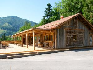
Two rustic mountain restaurants – the Berggasthaus Chrüzegg and the Alp Altschwand – are situated along the route. However, there are also countless opportunities to stop for a bite to eat on the Atzmännig, along the trail and in Rapperswil-Jona.
Opening Hours
Open on These Days
- Mo
- Tu
- We
- Th
- Fr
- Sa
- Su
Open to the public all day
Address
| Distance | Travel time | |
|---|---|---|
| Zürich Main Station | 35.9 km | 71 min |
| Zürich Airport | 37.4 km | 87 min |